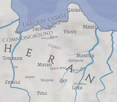
Heran was the name given to much of northern Tarnaria between the 13th CSR and 2nd CTR. Heran generally did not include the coast of the Kost Sea, was bounded by the Gratfeef river in the east, by the Erna river in the west and by Toyen in the south.
heran.1600612943.txt.gz · Last modified: 2020/09/20 10:42 by lverona